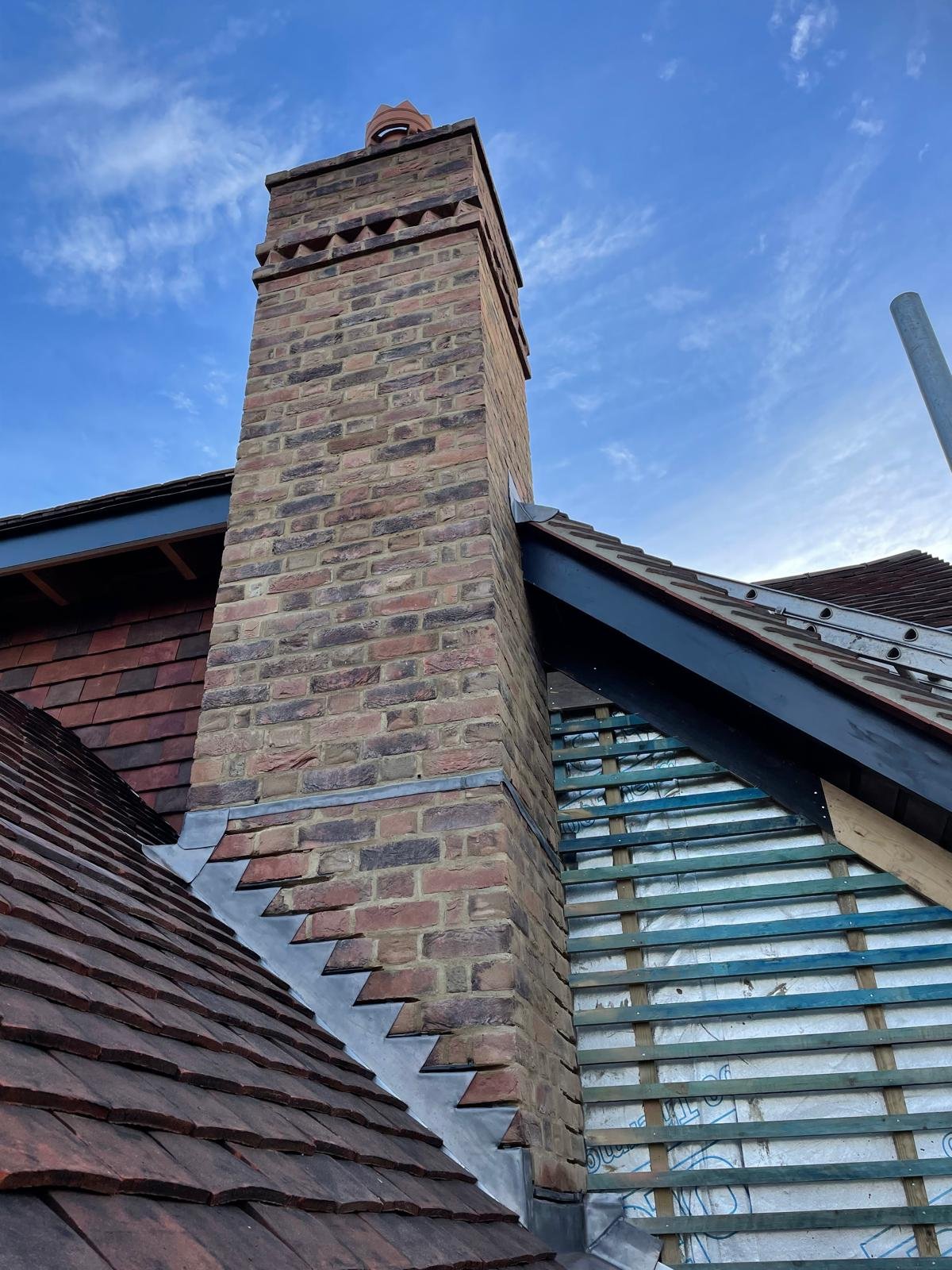
We build from Reigate outwards: east along the greensand ridge, up onto the North Downs, north over Reigate Hill and west into the Mole Valley. Every town below has its own page, and we cover the villages and hamlets in between them too.
Not a circle drawn on a map. The places our vans can be at eight in the morning.
Everything starts from Reigate. Our office is at 49 Vogan Close in RH2, a few minutes from the High Street, and the towns on this page are the ones we can reach comfortably from it. In practice that is a drive of roughly ten to thirty minutes. Redhill is two miles up the road. Kingswood is about four miles straight up the A217 over the top of Reigate Hill. Betchworth is ten minutes west along the A25. Horley is twenty minutes south on an ordinary morning. Coulsdon is about nine miles north, Ashtead about ten miles west, and Warlingham about twelve miles over the downs. Past that, the drive starts to eat into the working day, and it shows on site.
That is the whole reason we hold the line where we do. A builder who is twenty minutes away behaves differently from one who is two hours away. Our team starts on your house at the beginning of the day rather than the middle of it. A delivery that turns up wrong gets put right the same afternoon instead of next week. Ian can drop in on his way past to look at something you are unsure about. And months after handover, if a door drops or you want a second opinion on something, we can come back without it becoming a favour.
Coverage works the same way in every town on the list. One survey, one written quotation, one contract and one person to ring. The same trades we have used for years turn up whether the job is in Merstham or Dorking, because we run the work ourselves rather than handing a postcode to whoever happens to be free. You get a realistic programme before we start and an update every week while we are there. Nothing about the service changes because you live twelve miles away instead of two.
What does change is the ground. This corner of Surrey packs an unusual amount of geology into a small area, and it decides more about a build than most people expect. Up on the North Downs around Caterham, Warlingham, Chipstead and Coulsdon it is chalk, steep valleys and plots that fall away sharply behind the house, so stepped foundations, retaining and surface water come first. Along the greensand ridge through Nutfield, Bletchingley, Godstone and Oxted there is sandstone in the old walls and a great deal of listed and period building to work around. South of Reigate towards Horley and Leigh you drop onto Weald clay, which moves with the seasons and wants deeper footings and a careful eye on nearby trees. Knowing which of those you are standing on before we price is half the job.
If your town is not on the list, ask anyway. The boundaries here are soft, and we would far rather have an honest conversation than turn good work away. If it is genuinely too far for us to look after properly, we will say so rather than take it on and let you find out later.
Each one has its own page covering the local housing stock, the ground, the access and the council that signs the work off. Pick the town nearest you.
Not sure whether we reach your postcode? Ask us. We very likely do, and if we do not we will tell you straight.
Four towns inside our own borough, all within twenty minutes of the yard, and the place a good share of our work still comes from a neighbour who watched us finish the last one.
Reigate is home. Substantial Victorian and Edwardian villas climb towards Reigate Hill, wide Edwardian and inter war plots sit around Doods Road and Wray Common, and 1930s semis fill out Woodhatch and South Park. It is a town where people stay, extend and improve rather than move, so a builder is judged by the houses left behind.
Redhill is two miles up the road and has one of the most mixed housing stocks in the borough, because the railway junction built it. Tight Victorian terraces near the station, post war and 1960s semis spreading south, and the newer lakeside homes at Watercolour on the old sand workings. Half the job here is knowing which house you have before the front door opens.
Merstham sits at the top of the borough where the chalk begins, and it is really two villages in one: the listed and period cottages along Quality Street, and the large post war estate laid out behind them with generous plots and wide verges. Horley runs the other way, twenty minutes south, grown in layers from the Victorian cottages around the station out to inter war semis on Balcombe Road and the post war estates on the edges.
All four answer to Reigate and Banstead Borough Council, the same authority that covers our own address.
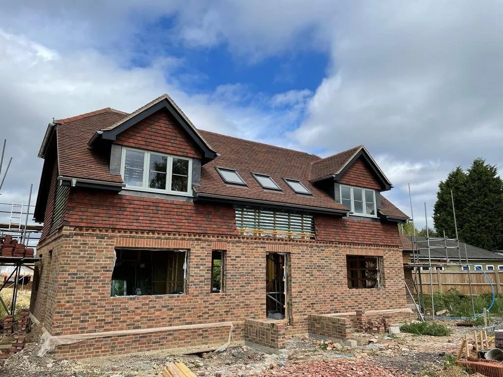
Four old places strung east of Redhill along the ridge, where careful repair usually beats replacement and the walls are older than the road.
Nutfield is a couple of miles east of Redhill where the land lifts onto the ridge. Sandstone and soft Victorian brick cottages along Mid Street and Church Hill, bigger Victorian and Edwardian houses on the high ground, and farmhouses and converted outbuildings out in the lanes. South Nutfield has its own character altogether, gathered round the station.
Bletchingley is a village where the buildings are older than the road, and the road is the A25. A broad High Street with wide green verges, Georgian frontages with timber frames hiding behind them, tile hanging, weatherboarding, hand made brick and local sandstone in the garden walls. Godstone gathers round a large green and its pond, with timber framed and tile hung cottages at the middle and much bigger plots once the street lights stop.
Oxted is really two villages joined into one. Old Oxted is a narrow high street of tile hung and timber framed cottages that has barely changed shape in centuries. New Oxted arrived with the railway, which is why so much of it is confident Edwardian brick and comfortable inter war housing on generous plots. The Downs sit directly overhead, and Limpsfield and Hurst Green fill in around it.
All four sit in Tandridge District Council, one of the most heavily Green Belt districts in England.
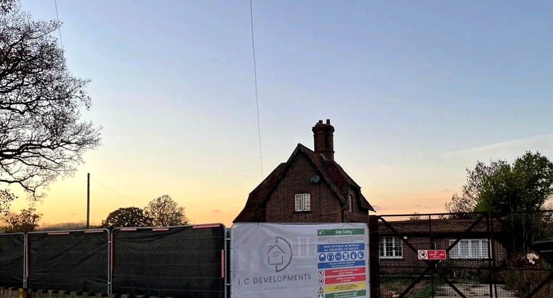
North east of us the land climbs onto the downs, and almost nothing up there is level. It is the part of our patch where the groundworks make or break the job.
Caterham is two towns in one. The valley runs along Godstone Road and Croydon Road with the station at the bottom, full of Victorian and Edwardian villas and 1930s semis. Caterham on the Hill spreads across the plateau above, laid out around the old Guards Depot. Between them, streets like Harestone Valley Road climb the sides of the valley and the gardens behind them rise or fall away sharply. Whyteleafe, Woldingham and Chaldon sit around the edges.
Warlingham stands near the top of the downs, gathered round the green and the war memorial and spreading north and south along Limpsfield Road towards Hamsey Green. It is ringed so tightly by protected countryside that very little new housing appears, so people here extend, convert the loft or refurbish the whole house rather than move. There is space to do it, too, because most of CR6 sits well back behind its own drive.
Coulsdon fills a dry chalk valley with the Brighton Road along the bottom and the land climbing hard on both sides, Farthing Downs coming right up to the southern edge. Victorian cottages in Old Coulsdon, inter war avenues off Woodmansterne Road, and the newer streets at Cane Hill. A plot that falls three or four metres front to back changes the groundworks completely, so we survey levels and dig trial holes before we price.
Caterham and Warlingham are Tandridge. Coulsdon is the exception on this page: it sits in the London Borough of Croydon.
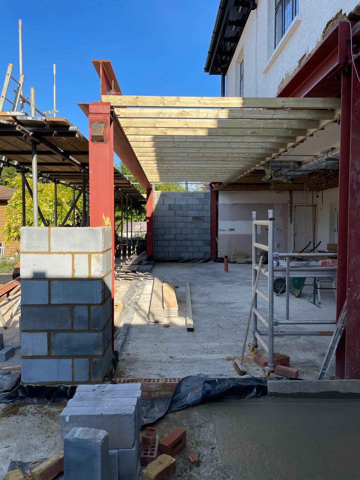
Straight up the A217 and over the top, the gardens get longer, the houses get wider and the question stops being whether there is room and starts being how far to take it.
Kingswood is about four miles from our door and the character changes the moment you pass the crest. Pines, oaks and rhododendrons, houses standing well back behind gates and a long gravel approach, and roads like Waterhouse Lane and the drives around Kingswood Warren. Very little of our work here is modest. Tadworth next door spreads over a lot of ground, with Edwardian and inter war houses on plots that would hold three homes closer to London, Walton Heath on one side and the racecourse on the other.
Banstead is generous suburban ground. Most of it went up between the wars when the big estates were broken up, and Nork is the clearest example: wide grass verges, tree lined avenues, hipped tile roofs, a side gap for the garage and a long back garden. Chipstead is the opposite in feel. Old lanes, big gardens, a great deal of Green Belt and a village that rewards reading the site properly before anyone draws anything.
Epsom is the largest town on our patch and takes three postcodes to cover. Georgian and early Victorian frontages around Church Street and the clock tower, Victorian and Edwardian terraces behind the station, then the biggest slice of the town by a distance: 1930s semis, which fill Stoneleigh and West Ewell almost entirely. Up towards the Downs, Woodcote holds larger detached houses on wide leafy plots.
Chipstead, Banstead, Kingswood and Tadworth are Reigate and Banstead. Epsom is its own borough.
Ten minutes west of our door the Mole Valley begins, and with it the conservation areas, the listed frontages and the Surrey Hills on three sides.
Betchworth is the closest of the four, a village of old walls and a river with a temper, with a conservation area covering most of it and Brockham, Buckland, Strood Green and Leigh in the lanes around. Dorking sits in the gap where the Mole cuts through the North Downs. The High Street, West Street and South Street still follow the tight plots they were laid out on centuries ago, so frontages are narrow, back gardens are long and thin, and rear access is often through an archway or a shared yard.
Leatherhead grew up where the road crossed the river, and the town still reads that way. A historic core around Church Street and Bridge Street with timber framed and tile hung buildings, then the streets that filled in after the railway, then 1930s semis, then post war housing out towards the Common. Head south west and the plots open right out up Hawks Hill and on into Fetcham and Oxshott.
Ashtead sits in the gap between Epsom and Leatherhead and still behaves like a village. Edwardian houses in red brick and hung tile around Woodfield Lane and Barnett Wood Lane, inter war roads off Craddocks Avenue, and far larger detached plots in Ashtead Park. Green Belt presses in on nearly every side, which is why KT21 has grown into its own gardens rather than sprawling.
All four come under Mole Valley District Council, and much of the country around Dorking sits inside the Surrey Hills.
Our coverage area crosses four Surrey planning authorities and clips a London borough at its northern edge. Knowing which one you are answering to is the first practical question on any job.
Reigate and Banstead Borough Council covers the largest share of our work, including our own address, so their planning and building control teams are the ones we deal with week in and week out. Tandridge District Council takes the eastern villages and the towns up on the downs, and it is one of the most heavily Green Belt districts in the country, which shapes what gets approved there. Mole Valley District Council covers the west, where conservation areas and the Surrey Hills carry real weight. Epsom and Ewell Borough Council is the smallest slice of the patch by area but the busiest single town on it.
The boundaries do not always follow the roads, and that catches people out more often than anything else. Buckland is Reigate and Banstead while neighbouring Betchworth and Brockham are Mole Valley, so a neighbour a couple of miles away may have been given an answer that has nothing to do with your address. Chipstead runs close to the Croydon boundary on its northern edge. Coulsdon sits inside Greater London altogether. We check the address against the authority's own maps at the survey, before anybody is paid to draw anything, and we work alongside your architect or one of the designers we have known for years so the drawings that go in are the drawings that can actually be built.
Plenty of our work is not in a town at all. It is in the lanes, the hamlets and the small villages that fill the gaps, and we cover all of them.
Village work asks slightly different questions from town work. Access is usually the first one: a single track lane, no pavement, a verge that will not take a lorry and a neighbour whose only way out is past your skip. We plan deliveries around it, use smaller vehicles where a full size lorry would block the road, and speak to the people either side before anything noisy or awkward happens. The second question is materials. Out here you are far more likely to be matching hand made brick, peg tiles, lime mortar, weatherboarding or local sandstone than anything off a modern pallet, and getting that wrong is visible from the road for the next fifty years.
The third is Green Belt. A great deal of the land between these towns is protected, and the rules on what you can add to a house, and how much of it, are tighter than most people expect. It does not mean the answer is no. It means the answer needs checking properly at the start, before money goes on drawings. If your village is not on the list below, it is almost certainly still covered, so ask.
Whichever part of the patch you are in, the work runs the same way, from the drawings on the table to the day we hand the keys back.

from the soil in the ground to the keys in your hand